
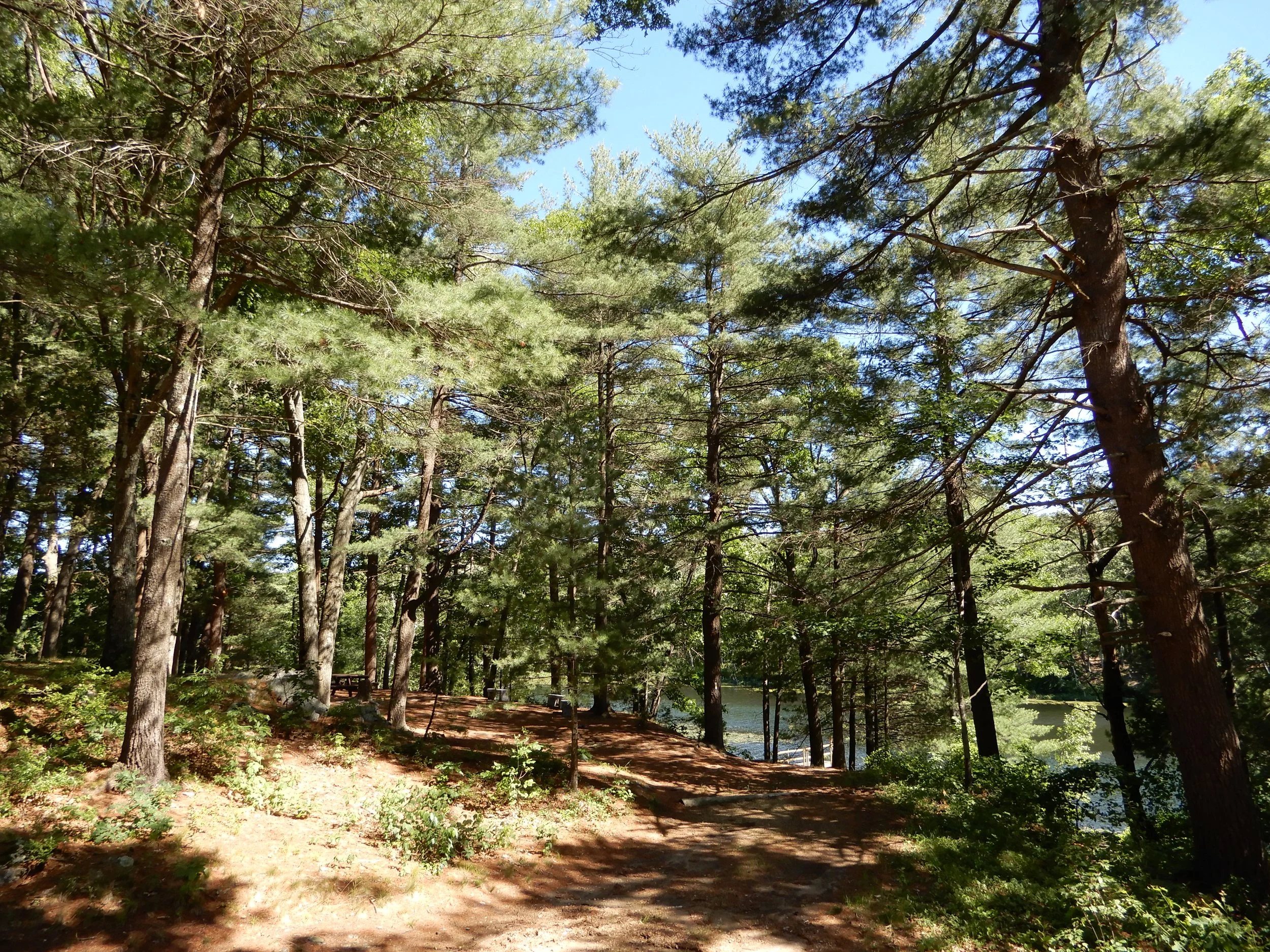
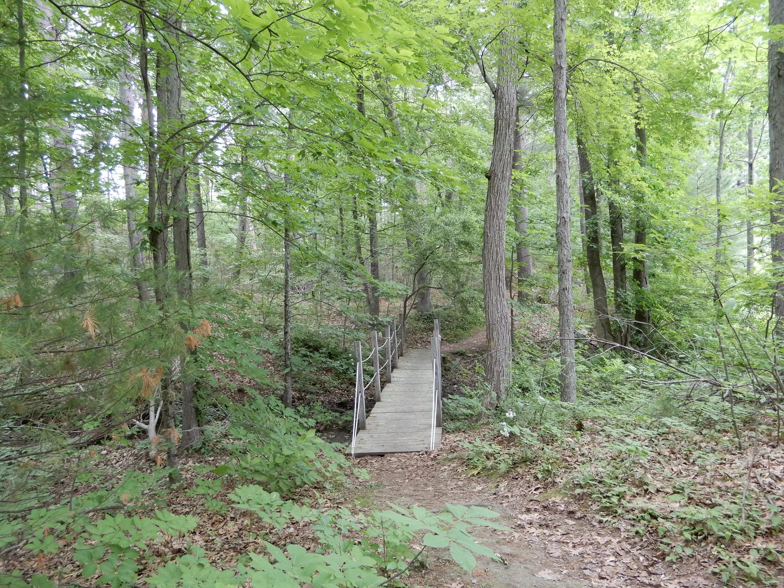
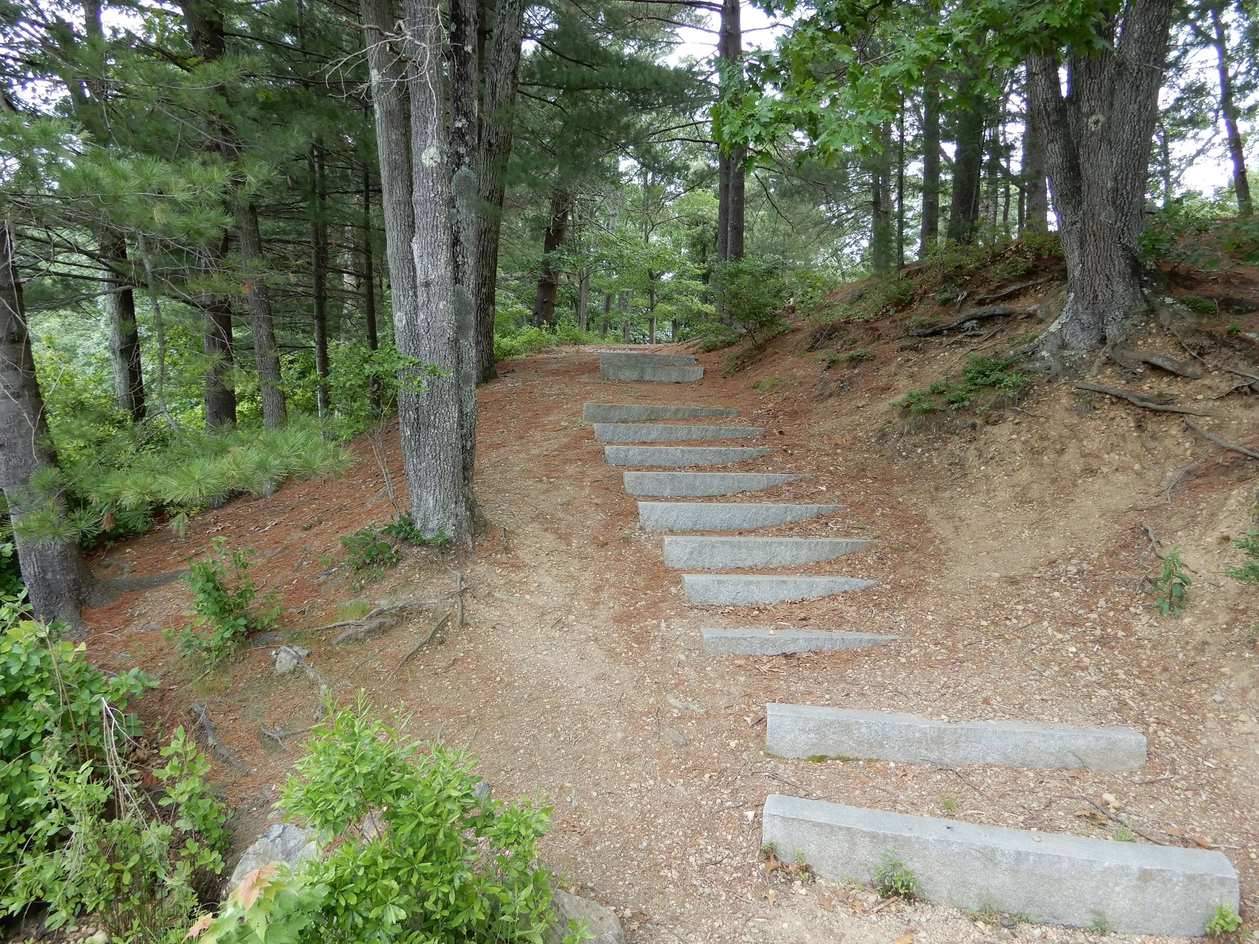
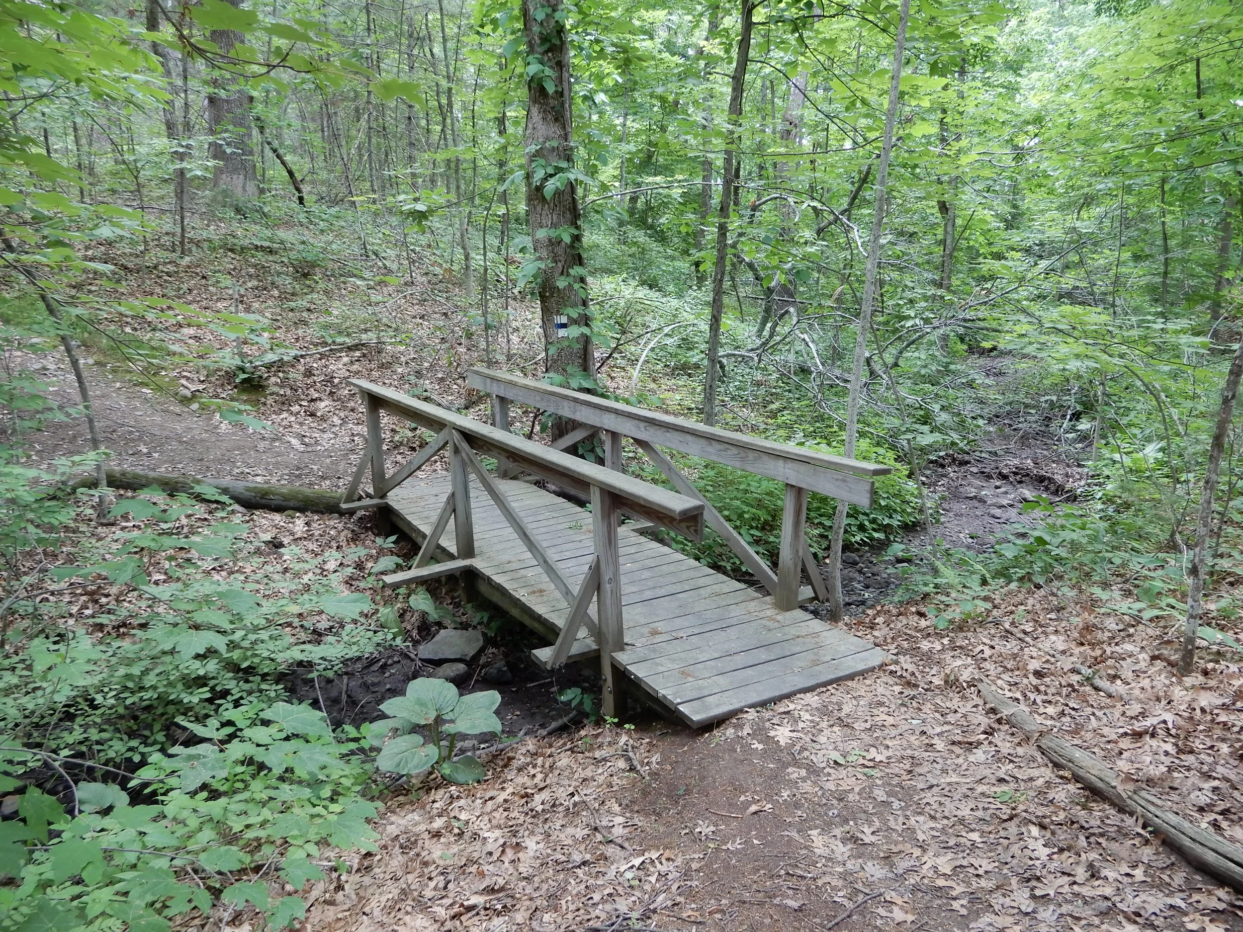
Walking Trails

The 44-acre Camp Denison Conservation Area currently has nine marked trails, as well as access trails from the Lodge to the two parking areas. All trails are available from sunrise to sunset year-round for hiking, snowshoeing, and birdwatching. Bicycles, horses, and motorized vehicles are not permitted on the trails.The trails are color-coded and well-marked.
The trail map can be downloaded here. In addition, the yellow trail connects with the adjacent Baldpate Pond State Forest, and the Border to Boston rail trail on the other end.


Other Walking Trails in Georgetown
Lufkins Brook: Lufkins Brook Conservation Area is managed by the Georgetown Conservation Commission. Lufkins Brook is the site of the community gardens. Access to Lufkins Brook is from Andover Street and West Street. Click here for a trail map.
Meadow Pond: Meadow Pond Conservation Area is managed by the Georgetown Conservation Commission and is accessed from Uptack Road in Groveland. Click here for a trail map.
Crane Pond: Crane Pond is managed by the Mass Department of Fisheries and Game. Crane Pond is accessed from Thurlow Street. This is a Widlife Management Area and hunting is allowed. Check the MA Fisheries and Game website for hunting seasons. Click here for a trail map.
Trestle Way: Trestle Way Conservation Area is managed by the Georgetown Conservation Commission. Access is from Old Jacobs Road. Click here for a trail map.
Little’s Hill: Little's Hill Conservation Area is managed by the Georgetown Conservation Commission. Access is from Londonderry Lane. Click here for a trail map.
Pentucket Acres: Pentucket Acres Conservation area is managed by the Georgetown Conservation Commission. Access is from Old Jacobs Road. Click here for a trail map.